Paradise Valley - Licola

allanmac

4x4 Earth Contributer
A few of us from this forum, Outrage, Karl53, & myself headed up to Paradise Valley on Thursday morning for a extended long weekend. Blacknave also joined us, but he had to depart Friday lunchtime as he had a prior engagement.

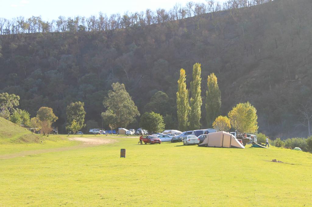
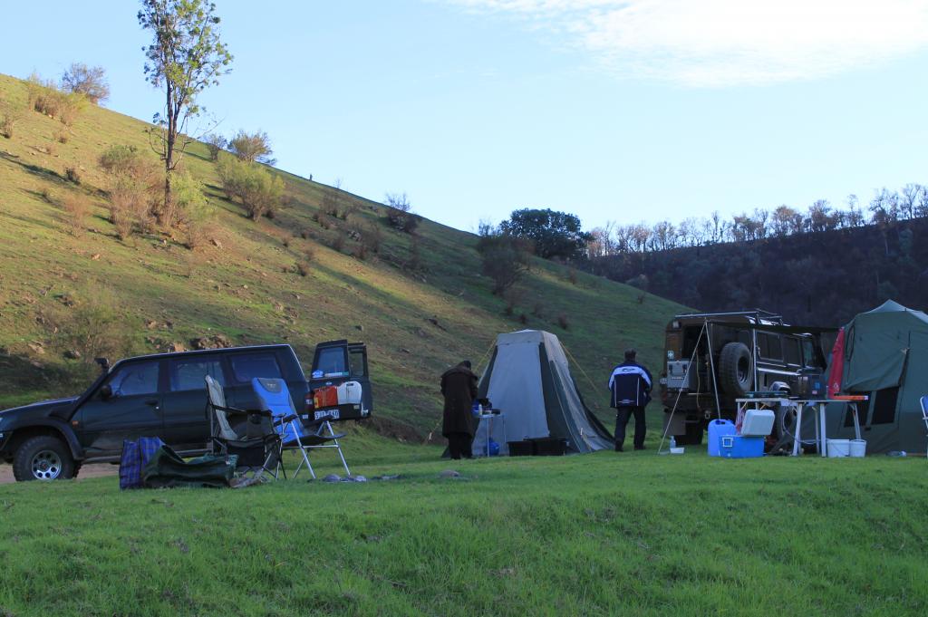
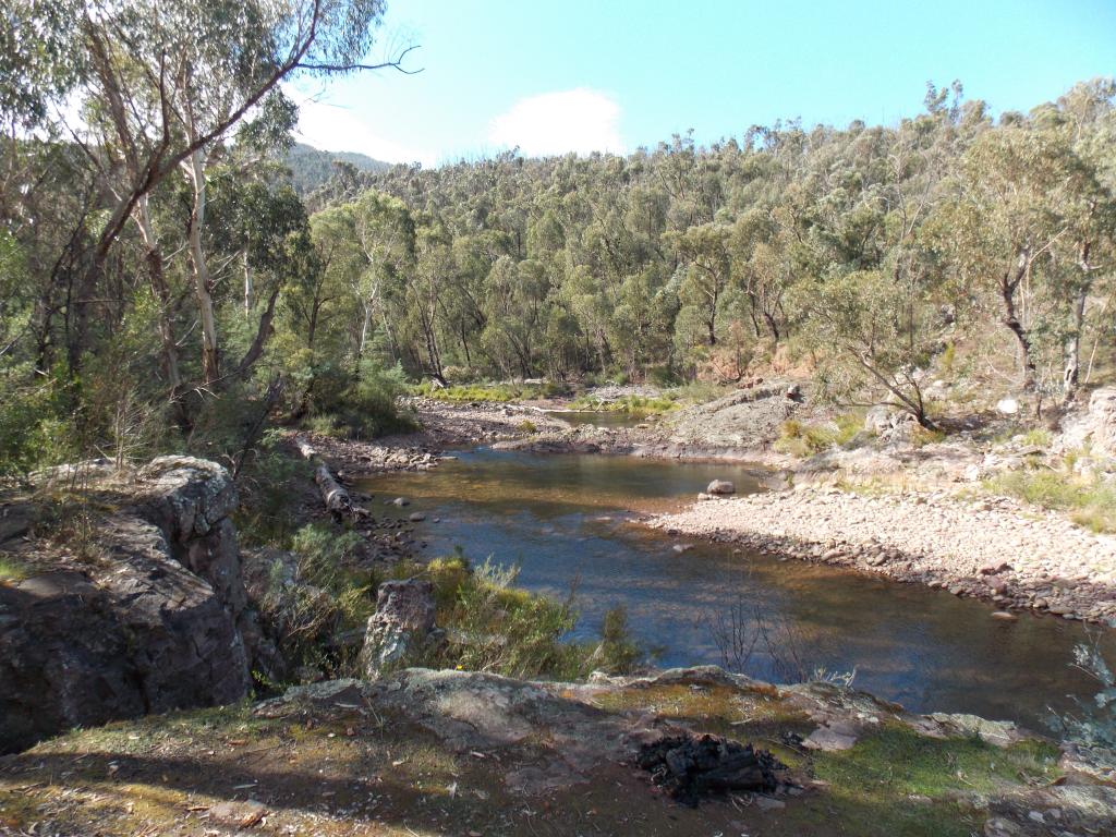
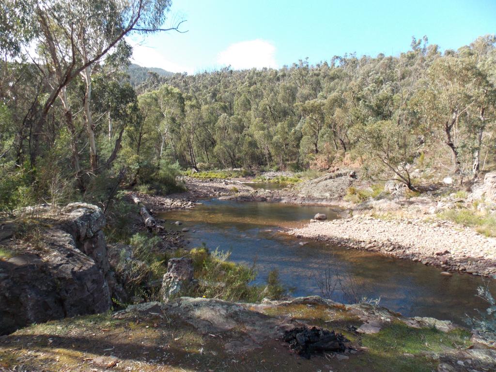
Arrived at Paradise Valley just after midday & set up camp. It was the 1st time any of us had been there & we were very impressed, even though I thought it was a little pricey, especially if you had a family. The toilet block isnt that large & even though it wasnt overly busy, there were queues waiting to use the showers. We set up on the banks of the Macalister well away from the toilet block & had plenty of room to ourselves...:)

The Campground

IMG_1593.jpg


IMG_1579.jpg


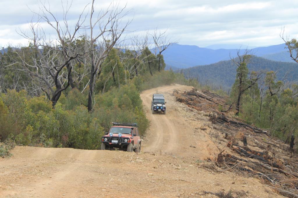
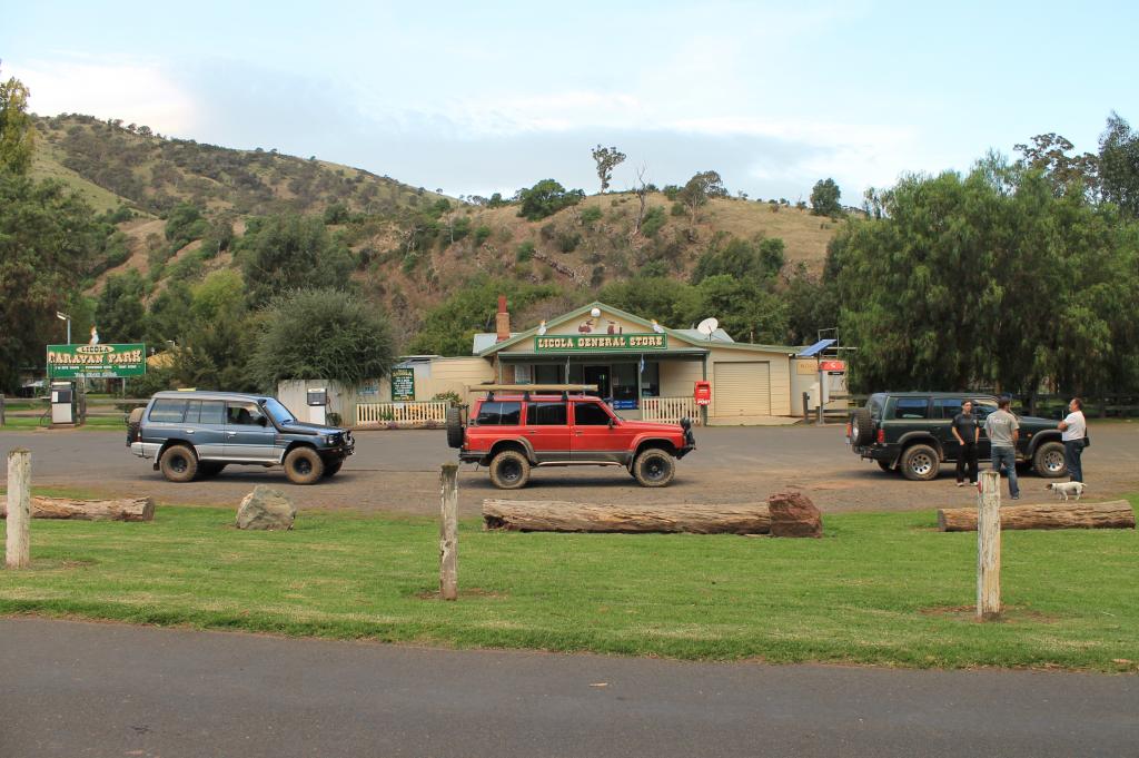
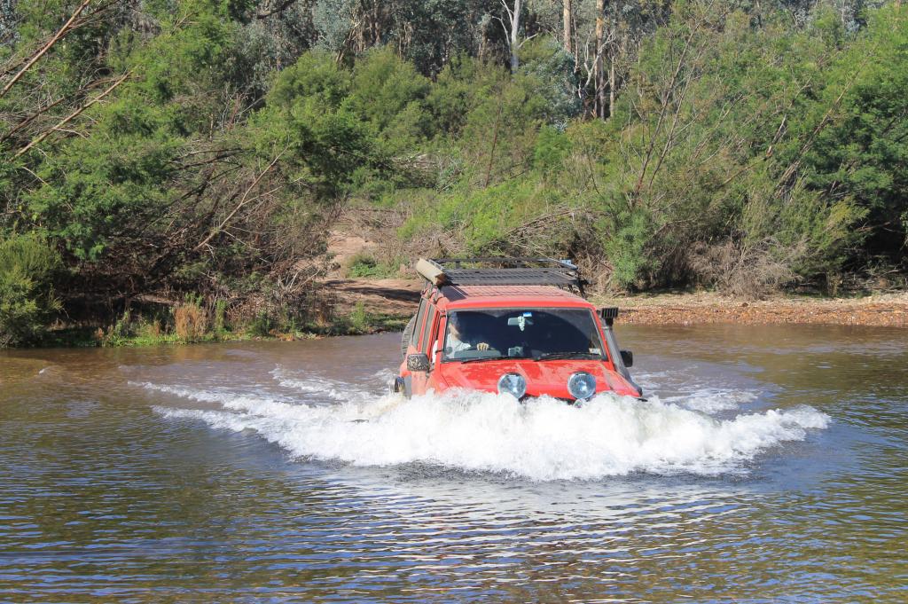
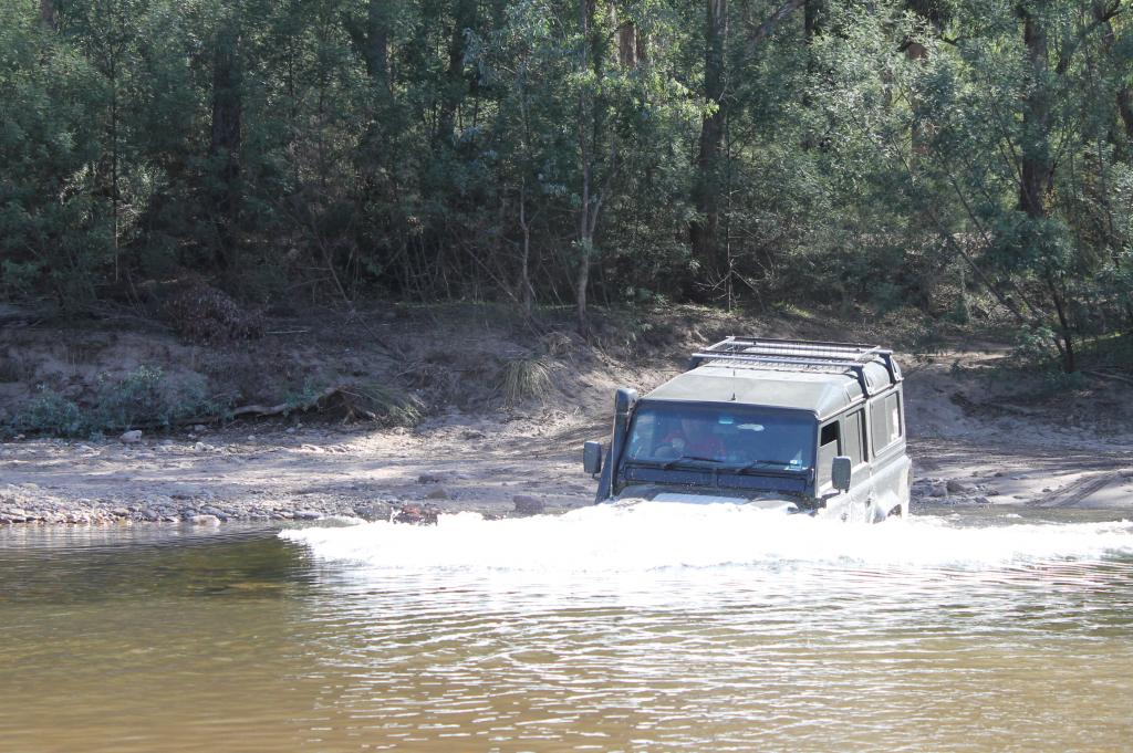
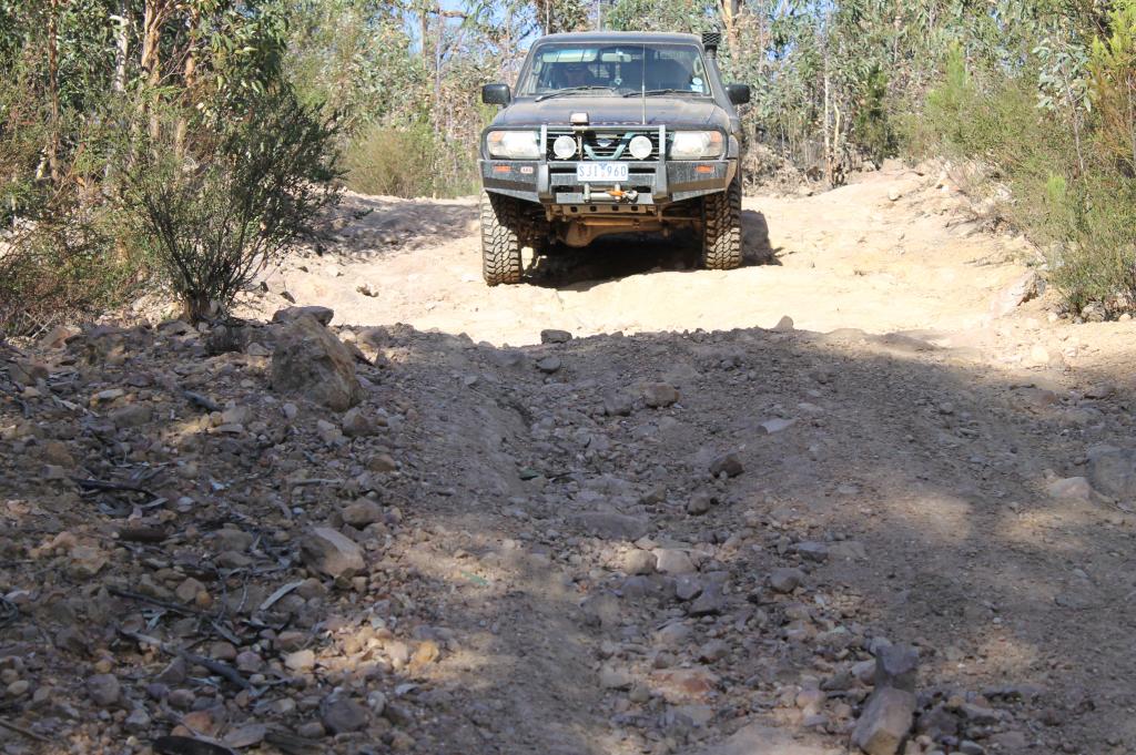
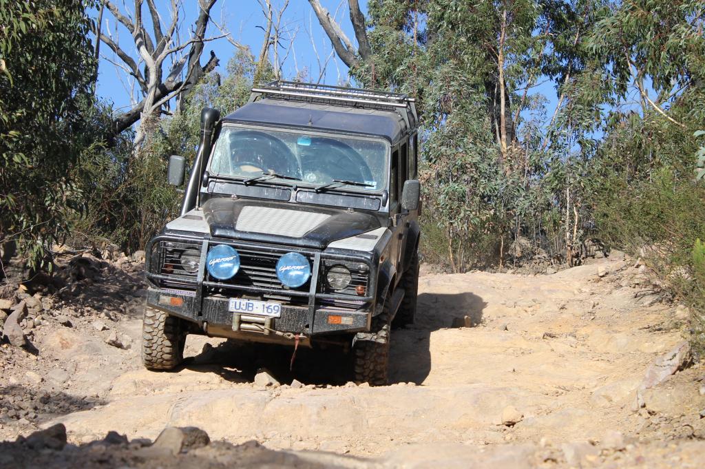
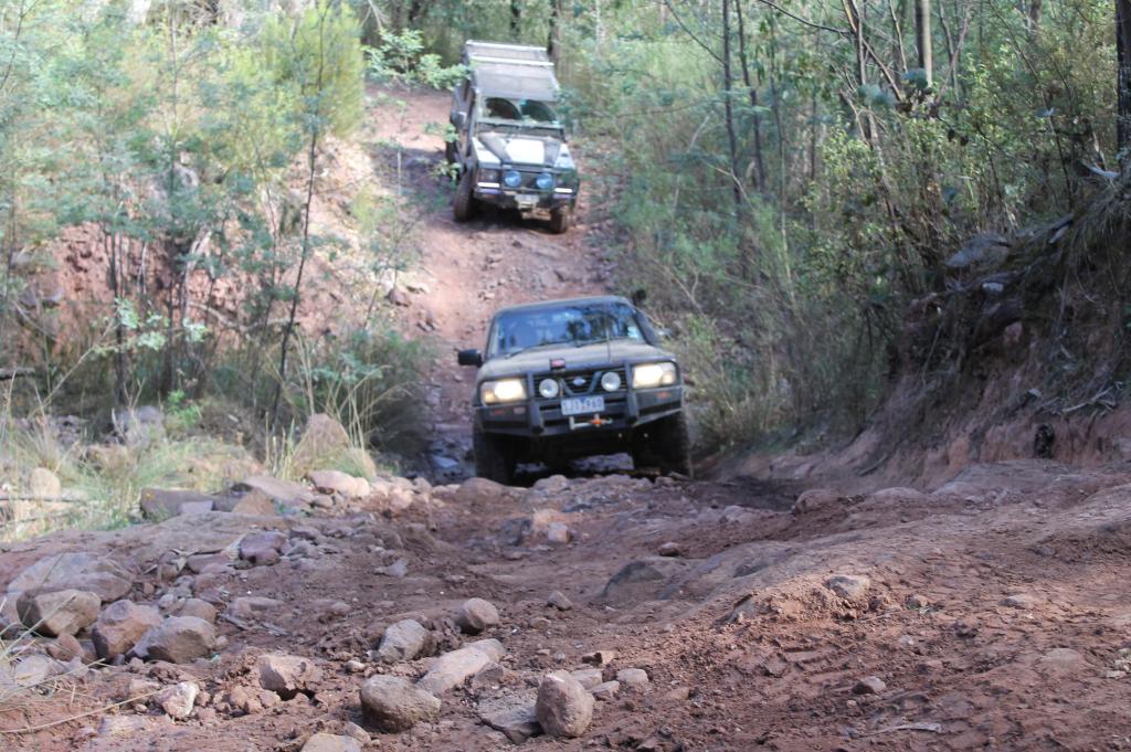
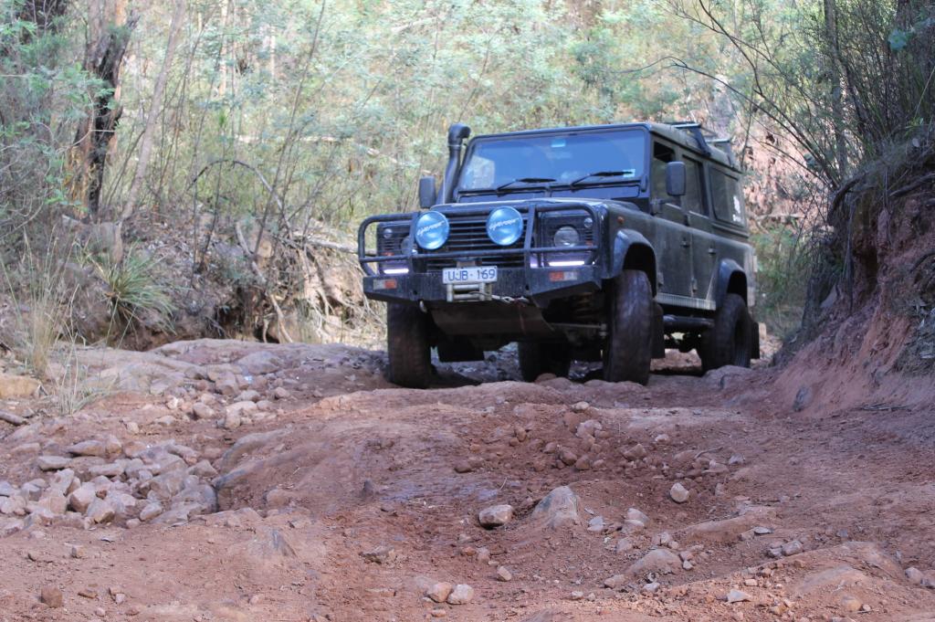
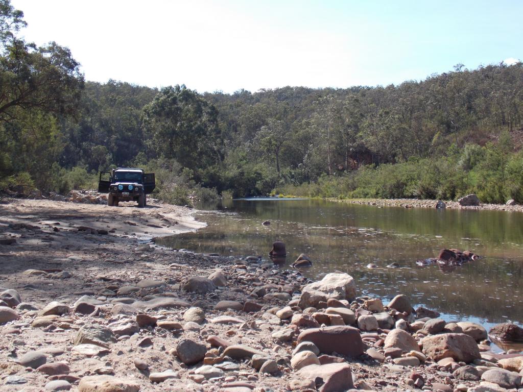
After setting up we decided to head out for an afternoon drive doing the 'Macalister Loop' which is Burgoynes Gap, Green Hills & Cobb Spur tracks into Licola & back to camp. The rocky section on Burgoynes Gap track is now much easier than it used to be & the crossing of the Macalister at Macalister Gorge was straightforward as the river was not very high at all. Passed a few camping then had a relatively easy run back to camp, collecting some firewood along the way.

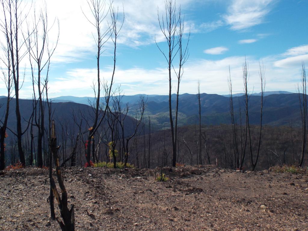
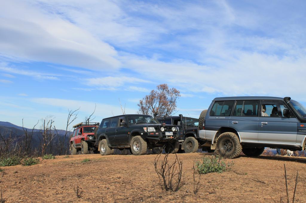
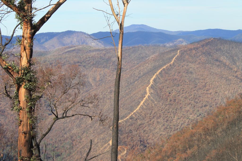
Next day we decided to explore the Avon Wilderness area & arrived at Huggets Crossing where Blacknav reluctantly had to make his way home..:(. We then headed up Mt Angus Tracl onto Avon Track & back to camp. It was a pretty full day & we got to see just how much damage was caused by the recent fires.
IMG_1539.jpg


IMG_1542.jpg


739752_IMG_1548.jpg


52748_IMG_1543.jpg


Huggets Crossing.

IMG_1555.jpg


IMG_1559.jpg


IMG_1564.jpg


Early night tonight as it was going to be a 'big day' on the Saturday.
 

Swaggie

Moderator
Good on you Allen, thanks for the pictures and report,Looked like a lovely drive, a few heavy rain falls will bring the rocks back out in time, Burgoyne's has been getting a lot easier over the years though..


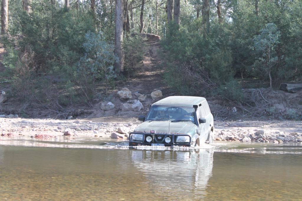
Heah what are those rocks at the base of the track in the river crossing pic or was it just a newly made one they want to stop people using..


Cheers ;)
 
Last edited:

allanmac

4x4 Earth Contributer
Got away early on Saturday as plan was to head north of Licola & begin the day on Black Soil Track. Got there in reasonable time, even though I missed a turnoff..:eek:, then we made our way down to the ist of many river crossing on the Macalister Track. Black Soil was far worse than last time I was there, but we all got down unscathed even though there was a 'moment' when we came across a few cars coming up. The 1st one pulled up on the bank & we were a little dubious in passing him as it seemed as though a little more angle & his *0 would have 'fallen over'...:eek:.

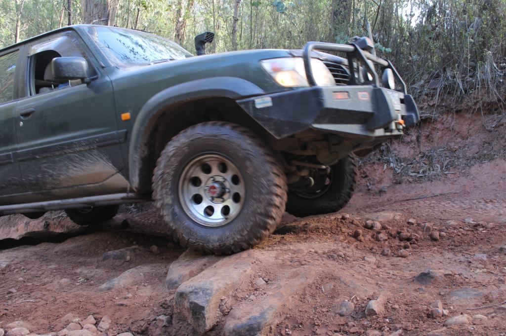
Macalister Track had some 'interesting' sections & whilst the rivers were not deep, they were very rocky & we had a few rocks bonding with our undercarraiges....:(

IMG_1568.jpg


IMG_1573.jpg


IMG_1585.jpg


IMG_1587.jpg


IMG_1588.jpg
 

allanmac

4x4 Earth Contributer
It was then onto Butcher Country & Dingo Hill Tracks up to Tamboritha Rd & back to camp via Licola.

Have not got any pics of this section but a bit of video footage, so will hopefully go through it over the next day or so.

Both these tracks 'kept us on our toes' but we all got through unscathed. The three of us had a heart flutter when we passed 8 vehicles from I think the 'Double Diamond Off Road' club who had stopped on various parts of the track with the last of their vehicles being at a rock ledge that if any of us had got wrong, we would have been straight into the side of his Jeep.

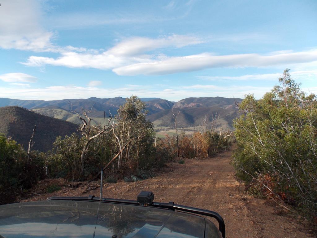
A fantastic weekend with a great variety of tracks ranging from scenic to difficult with fantastic views thrown in...:) For anyone interested in heading up that way, there are still a number of tracks closed in the area.
 

allanmac

4x4 Earth Contributer
Good on you Allen, thanks for the pictures and report,Looked like a lovely drive, a few heavy rain falls will bring the rocks back out in time, Burgoyne's has been getting a lot easier over the years though..


Heah what are those rocks at the base of the track in the river crossing pic or was it just a newly made one they want to stop people using..


Cheers ;)

Swaggie, I guess the rocks were put there to stop people taking a 'short cut' back to the camping area. Outrage entered the river at that point as that was where he parked the Patrol when we had our lunch break.
 

80lover96gxl

Moderator
Grate trip report and pic's.
Looked like a very nice campsite, nice and green.
You guy's have an awesome backyard over there, so keen to get back there and do some if the tracks I see pic's of and read about so often.
Nice work and thanks for sharing. :)

Sent from my GT-I9000 using Tapatalk 2
 

dno67

Well-Known Member
Great trip report & pics, I must make time to get up that away
again.
Thanks for sharing.
 

peterfermtech

Well-Known Member
Funny how all the times I drove past there I somehow thought that paradise valley was a nudist colony.

regards
 

prawns

Moderator
Outdone yourself mate - Great trip report and beaut pics. Crikey it looks like Gods country out that way. How'd your Paj handle it all?

Looking forward to the video :)
 

Outrage

4x4 Earth Contributer
Yep, great trip Al. Some pics from me.

Anzacweekend2013Licola003_zps9bacfbe3.jpg


Anzacweekend2013Licola006_zps903acb01.jpg


Hugget's Crossing
Anzacweekend2013Licola020_zpsb1f1cd37.jpg


Macalister River
83780_Anzacweekend2013Licola024_zps26e32f03.jpg


As usual, the hardest part of the trip is the part with no photo's, as we were all too busy hanging onto the steering wheel trying not to roll off a cliff or the like :D
 
some awesome pics taken looks like you guys had another great trip . Awesome country around that area I used to live not far from huggets crossing .
some of those tracks -mt angus -maclister gorge -black soil what used to be called ben cruchan track all make for a some what interesting nite drive after a splash of rain
 

Outrage

4x4 Earth Contributer
some of those tracks -mt angus -maclister gorge -black soil what used to be called ben cruchan track all make for a some what interesting nite drive after a splash of rain

Would imagine so, from what we saw, all the tracks entering the valley with the Macalister in that area contain red soil. Even a light shower turns that into a slippery slide.
 

Swaggie

Moderator
Would imagine so, from what we saw, all the tracks entering the valley with the Macalister in that area contain red soil. Even a light shower turns that into a slippery slide.

Been there and did that late last Jan, knew if it rained that night we would be winching out, sure enough 6pm that night it poured down all night... If you ever want to debate the winch or lockers first do yourself a favour and visit this area.. As I have numerous times now, with the sticky clay filling up your treads in no time and spinning on the spot you'll soon realise that the winch should be the number 1 choice....
 

Swaggie

Moderator
Macalister River
Anzacweekend2013Licola024_zps26e32f03.jpg


As usual, the hardest part of the trip is the part with no photo's, as we were all too busy hanging onto the steering wheel trying not to roll off a cliff or the like :D

Heah Matt is that the small camp ground that's just south of the Butcher Country Track on the left heading to Black Soil Track..

Usually its deep enough to jump off the cliff into the river, if that's it, it's certainly very low water wise..
 

allanmac

4x4 Earth Contributer
Heah Matt is that the small camp ground that's just south of the Butcher Country Track on the left heading to Black Soil Track..

Usually its deep enough to jump off the cliff into the river, if that's it, it's certainly very low water wise..

That's the one Swaggie, but it is on the right heading towards Black Soil unless there is another small camp in the vicinity with a big swimming hole....:confused:. Even though river heights were low, still plenty of water in that swimming hole you are talking about, but a little too coolish to have a dip.....;).
 
Last edited:

Swaggie

Moderator
That's the one Swaggie, but it is on the right heading towards Black Soil unless there is another small camp in the vicinity with a big swimming hole....:confused:. Even though river heights were low, still plenty of water in that swimming hole you are talking about, but a little too coolish to have a dip.....;).

Yeah there's a couple about...Another thing too in that area is those bloody Jumping Jacks..Ive kept driving from some nice camping spots as thats the first thing i look for since i copped a few up my leg there on a trip :eek::eek:..The Suggen Buggen camp site was the same..Not good if you hav kids either...

Did you look at the Pine creek Track washout,Intersection of the Macalister and Caledonia Rivers..Actually swam in it in Jan was nice and deep too...The Macalister was warm but the Caledonia river was as cold as a mother in laws kiss..
 

Blue Rangie

Member
It was then onto Butcher Country & Dingo Hill Tracks up to Tamboritha Rd & back to camp via Licola.

Have not got any pics of this section but a bit of video footage, so will hopefully go through it over the next day or so.

Both these tracks 'kept us on our toes' but we all got through unscathed. The three of us had a heart flutter when we passed 8 vehicles from I think the 'Double Diamond Off Road' club who had stopped on various parts of the track with the last of their vehicles being at a rock ledge that if any of us had got wrong, we would have been straight into the side of his Jeep.

A fantastic weekend with a great variety of tracks ranging from scenic to difficult with fantastic views thrown in...:) For anyone interested in heading up that way, there are still a number of tracks closed in the area.

I seen youre group come past us I was in a jeep because the day before I snapped my rear axel on my rangie and I had parked it for the weekend in Licola but I still enjoyed the weekend and the tracks we did

steve blue rangie
 
Top