Hey
@goody829 , did you manage to get into Brocket or Louisville?
I'd be interested to see how you went.
Hey
@boobook , yes we did.
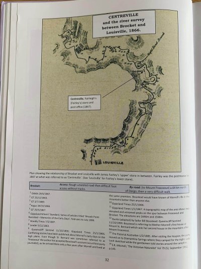
For Brocket we believe it use to be at this location here (-37.033335,147.141162), from the map below out of an old gold towns book. The "Right Hand Branch" is the actually Dargo river which comes down from Hotham which we were following. The "Left Hand Branch" doesn't have a name so I'll just refer to it as the Brocket Tributary.
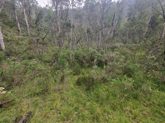
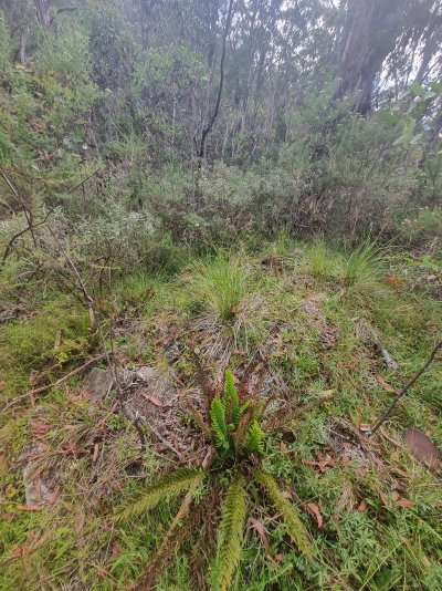
We hiked up the Brocket Tributary from the Dargo River, it was roughly 1.5km. We found a large flat area going up the hill, we explored the area for maybe 1.5 hours before having to get back to camp that was on the Dargo river. The bush has reclaimed the site from the last fires thick scrub is growing in majority of the site which can been seen in 1st photo. With not a lot of evidence left over, the 2nd picture there's a rock stack most likely an old fireplace and a bit of tin bottom right probably a bit of the old tin roof, as maybe a log cabin use to be there. One of the guys did find an old hand saw, just the metal saw, the wood handle was long gone. Then a bit of old glass in the river coming up, other than that the scrub made it difficult to see much.
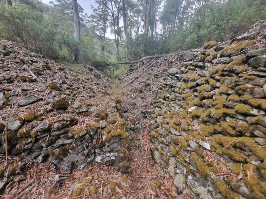
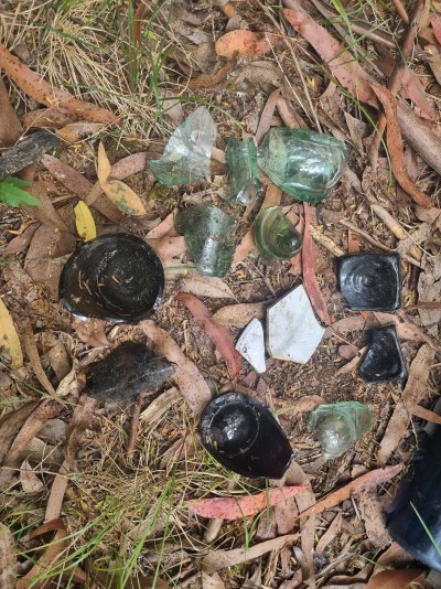
At the diversion tunnel which is downstream of the Brocket Trib on the Dargo River are large rock stacks from gold workings, 5m high in some areas, it's real impressive to see, and a water race. There's a collection of broken bottle pieces we found in the photos.
At Louisville (-37.051503,147.140615) we had a quick look around but didn't see too much, the bush was thicker here so it was a bit hard to try and pick out where the flattest area was. We were a bit pressed for time this day so couldn't stay long.
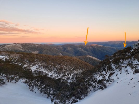
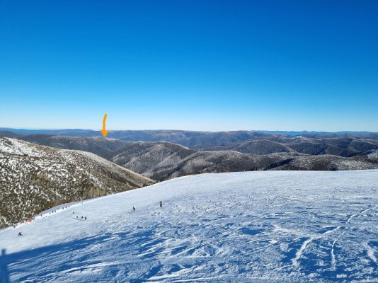
Now for access we dropped in from Hotham and hiked the Dargo river so we were already down there. But I would guess the way you could go would be parking at Blowhard Hut, then hiking this ridgeline down (-37.003540, 147.128141) to get to Brocket, should be able to get there in a day if you're reasonably fit, there'll probably be some steep terrain to navigate. I know Brocket use to be serviced via Harrietville so there could even be old horse trails through there somewhere that lead to Brocket.
If there's anything else you want to know just shoot a message